The potential for synergies between the Copernicus and E-GNSS (Galileo and EGNOS) programmes was explored at a Copernicus Training and Information Session, hosted by the European GNSS Agency (GSA) at its Prague headquarters on 24 May.
Synergies generated by the joint use of E-GNSS and Copernicus exist in 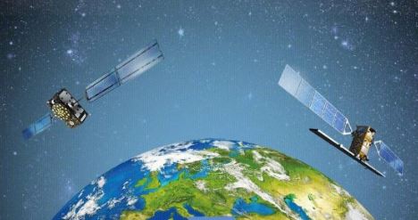 most market segments, with potential applications ranging from biomass monitoring and environmental management, to border surveillance and maritime safety. These synergies were the subject of a presentation at the Copernicus Training and Information Session, which the GSA hosted at its headquarters in Prague.
“Copernicus is analysing and providing the characteristics of an area while Galileo is providing the navigation, the support for the high accuracy positioning and tracking of specific targets within this area. Obviously, this creates numerous opportunities for applications, for business development but also for the protection of the environment,” GSA Head of Market Development Gian-Gherardo Calini said at the conference.
Read this: Better together
During the forum, a particular focus was made on combined use of this Copernicus and E-GNSS data in support of agriculture applications and mapping and surveying. One example from the agricultural segment showed how differentiated crop maps supplied by Copernicus, highlighting soil moisture, crop health and the normalised difference vegetation index (NDVI), could be combined with highly accurate E-GNSS machinery positioning in order to apply fertilisers and pesticides where and when they are most needed, thereby ensuring a more efficient use of manpower and a lower environmental footprint for agricultural activities.
In the mapping and surveying sector, for example, Copernicus could be engaged to monitor urban growth, urban green areas and land use and its evolution, while E-GNSS could be used to determine items such as utilities and infrastructures and to understand the mobility habits of citizens. The combination of information from these two sources would enable public authorities and spatial planners to design smart cities and define new urban corridors, while monitoring infrastructure and utilities and tracking compliance with environmental legislation.
Speaking at the forum Petra Hesslerova from ENKI o.p.s. said that land, food, energy, water and climate were interconnected, comprising a coherent system - a ‘Nexus’. “The integrated management of this Nexus is critical to secure the efficient and sustainable use of resources. Copernicus Open Data combined with E-GNSS are key to understanding the Nexus clearly and building a coherent model,” she said.
In the 3rd Horizon 2020 call for Galileo, which recently closed for submissions, a particular emphasis was put on projects that utilise a combination of the two European satellite systems.
Also read: 2017 European Satellite Navigation Competition kicks off in Brussels
About Galileo
Galileo is Europe's civilian global satellite navigation system. It allows users worldwide to know their exact position in time and space with great precision and reliability. Once complete, the Galileo system will consist of 30 satellites and the necessary ground infrastructure to enable the provision of positioning, navigation and timing services.
The Galileo programme is funded and owned by the European Union. The European Commission has the overall responsibility for the Galileo programme, managing and overseeing the implementation of all programme activities.
Galileo's deployment, the design and development of the new generation of systems and the technical development of infrastructure are entrusted to the European Space Agency (ESA). The definition, development and in-orbit validation phases of the Galileo programme were carried out by ESA, and co-funded by ESA and the European Commission.
The GSA is charged with ensuring the uptake and security of Galileo. As of 2017, the GSA is responsible for all Galileo operations and the provision of Galileo services.
About Copernicus
Copernicus, previously known as GMES (Global Monitoring for Environment and Security), is the European programme for the establishment of a European capacity for Earth Observation. Through satellite and in-situ observations, the services deliver near-real-time data on a global level which can also be used for local and regional needs, to help us better understand our planet and sustainably manage the environment we live in.
Copernicus is served by a set of dedicated satellites (the Sentinel families) and contributing missions (existing commercial and public satellites). The Sentinel satellites are specifically designed to meet the needs of the Copernicus services and their users. With the launch of Sentinel-1A in 2014, the European Union set in motion a process to place a constellation of almost 20 more satellites in orbit before 2030.
Media note: This feature can be republished without charge provided the European GNSS Agency (GSA) is acknowledged as the source at the top or the bottom of the story. You must request permission before you use any of the photographs on the site. If you republish, we would be grateful if you could link back to the GSA website (http://www.gsa.europa.eu).