The demonstration was the first of its kind for the Galileo High Accuracy Service on the African continent.
From Dakar to the Galapagos, users around the world can benefit from the better real-time positioning provided by the free Galileo High Accuracy Service.
The SatNav Africa Joint Programme Office which champions the development of satellite navigation (GNSS, SBAS) in Africa, conducted a field demonstration to showcase the benefits of the Galileo High-Accuracy Service (HAS) for the African mapping and GIS markets. The demonstration, which took place in Dakar, Senegal, was conducted in collaboration with the Association Sénégalaise des Professionnels de la Géomatique.
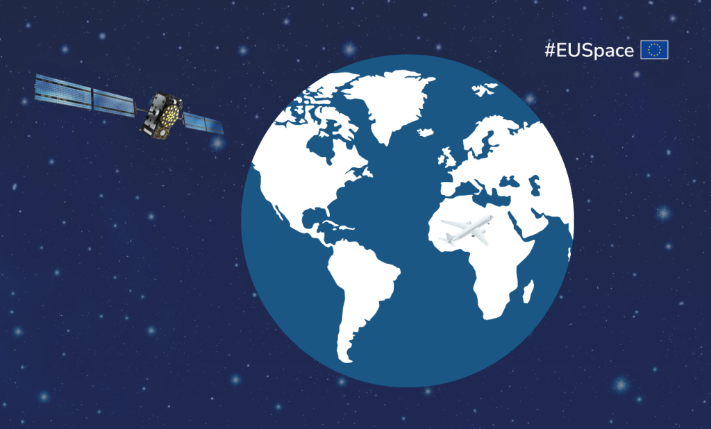
By providing free-of-charge, high accuracy Precise Point Positioning corrections through both the Galileo signal (E6-B) and via the internet, the HAS offers improved positioning performance with an accuracy of less than two decimetres – all in real-time.
“Galileo is the first GNSS constellation capable of providing a free-of-charge, high accuracy Precise Point Positioning (PPP) service both through the Signal in Space and via the internet under publicly committed performance” explains EUSPA Galileo High Accuracy Service Manager, Javier de Blas. “This is unique in that, typically, high accuracy services are based on accurate satellite and atmospheric data provided by other means such as terrestrial radio-links or dedicated geostationary satellites on a commercial basis or with no committed performance.”
Using the Arrow Gold+ GNSS Receiver by Eos Positioning Systems, Inc., the Dakar demonstration proved this revolutionary service’s ability to validate the Ground Control Points (GCPs) that are regularly used by Senegalese surveyors. The observed accuracy of the measurements was less than 18 cm within an initial convergence time of about 20 minutes.
The demonstration follows the recent use of the Galileo HAS in Ecuador’s Galapagos Islands. There, an ecologist leveraged the service to establish precise GCPs, which enabled drone imaging operations to achieve an unprecedented five-centimetre-level accuracy after 30 minutes of convergence – a significant improvement over traditional methods.
“From Dakar to the Galapagos, users around the world stand to benefit from the better real-time positioning provided by the Galileo HAS,” adds de Blas.
Media note: This feature can be republished without charge provided the European Union Agency for the Space Programme (EUSPA) is acknowledged as the source at the top or the bottom of the story. You must request permission before you use any of the photographs on the site. If you republish, we would be grateful if you could link back to the EUSPA website (http://www.euspa.europa.eu).