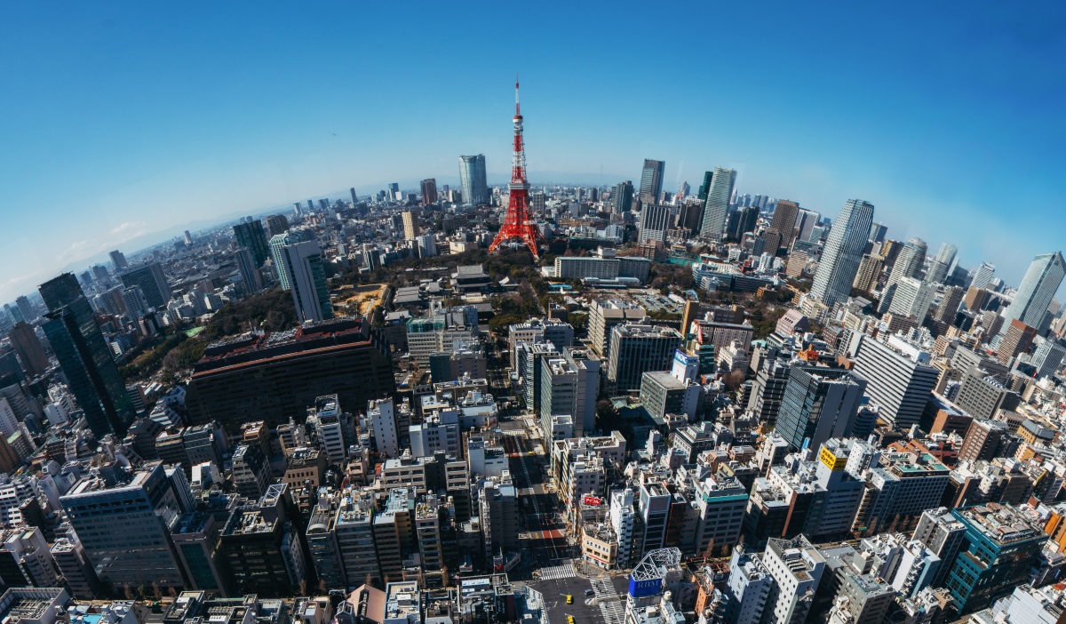
The Japanese government forecasts that 80% of the economic effects from QZSS will be in the car navigation, mobile terminal and value-added mobility application segments. The upcoming 2020 Tokyo Olympics will also give precise positioning and timing solutions an added boost. This instalment of our GNSS Asia series looks at Japan’s evolving QZSS system and the many benefits it is set to bring.
Japan’s own RNSS (Radio Navigation Satellite System) system, called  QZSS, is set to become operational next year. Currently an SBAS system (like EGNOS), there are plans to extend it into an independent regional navigation system. As such, it is set to drive demand in submeter -class applications for receiver manufacturers, system integrators and application developers.
As QZSS is planned to enable better signal reception in urban areas, thanks to the availability of more satellites in general over Japan, the country will benefit from increased accuracy and continuity – essential for position-based applications. According to estimates provided by the Japanese government, 80% of the economic effects created by QZSS are forecasted to take place in the car navigation, mobile terminals and value-added mobility application segments. Furthermore, the upcoming 2020 Tokyo Olympics will give precise positioning and timing solutions an added boost.
A dramatic advancement
As more and more services rely on satellite positioning, there is a greater need for additional satellites in the sky. In Japan, like elsewhere, car navigation systems and smartphones have utilised the position services of GPS satellites. However, due to the limited number of GPS satellites in the field of vision for Japanese users at any given time, services have not always been offered in a stable way. This is already improving as new constellations, such as Galileo, also cover Japanese territory.
For this reason, the Japanese government decided to launch their own RNSS service. QZSS, like EGNOS and Galileo, is interoperable with GPS and can be utilised with other GNSS in an integrated fashion. The result will be a dramatic advancement of satellite positioning services, not only in Japan, but across the Asia-Oceania regions with longitudes close to Japan.
QZSS will launch as a four-satellite constellation as of 2018. When added together with GPS and Galileo the entire system will provide eight or more visible satellites covering most of Japan at all times – an ideal number for carrying out stable, high precision positioning. Knowing that even with eight visible satellites signals are often obstructed in urban areas and mountainous regions, QZSS plans to increase its number of satellites to seven in the near future.
Benefiting users
When providing navigation services to pedestrians, it is necessary that a service convey detailed information about roads, including which side they should walk on and which pedestrian crossings to use. Thanks to the stable, high precision positioning that will be provided by QZSS, users will soon benefit from the detailed information they need to select the route that best matches their navigation goals. This includes routes that help them reach their destination fastest, routes with many pedestrian arcades, routes with few stairs and even how to take ‘the scenic route’.
QZSS will also be capable of sending reports for disasters and crisis management, such as during an earthquake or tsunami. Disaster Crisis (DC) Report, the QZSS safety confirmation service, will send emails via satellite to close relatives if other means of communication are cut off during a disaster.
New Cooperation ArrangementTo ensure Japan benefits from European GNSS know-how and that European businesses can benefit from the GNSS developments happening in Japan, a Cooperation Arrangement was recently signed between the Government of Japan and the European Commission. The Cooperation Agreement aims to enhance EU-Japan policy cooperation in order to prioritise industrial sectors for utilising satellite positioning and creating new business services. The announcement was made during the annual EU-Japan GNSS mission. One of the hot topics discussed during the mission was the upcoming 2020 Tokyo Olympics, with the European team sharing how the 2012 London games benefited from GNSS applications and how the Tokyo games could similarly benefit. |
Media note: This feature can be republished without charge provided the European GNSS Agency (GSA) is acknowledged as the source at the top or the bottom of the story. You must request permission before you use any of the photographs on the site. If you republish, we would be grateful if you could link back to the GSA website (http://www.gsa.europa.eu).