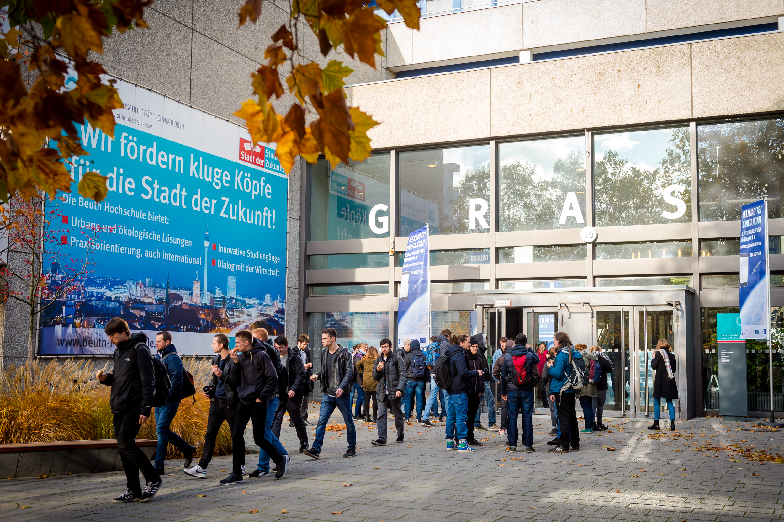
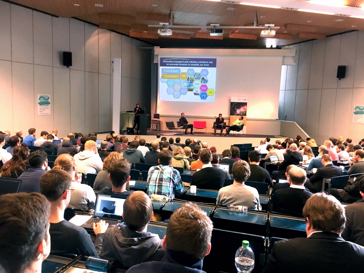
The WhereCamp Berlin ‘unconference’ on 3 and 4 November offered exciting insights on the future of Location Based Services (LBS) and the Geo-IoT (Geolocation - Internet of Things) including some interesting developments around the use of LBS provided by European GNSS. The meeting featured the first ever Galileo Hackathon (link) and a plenary session hosted by the GSA on Technology Trends in Geolocation presented by the global leaders in the field: Qualcomm, Broadcom and Google.
WhereCamp ‘unconferences’ are dedicated to geolocation professionals and students. This sixth European version took place at Berlin’s Beuth University of Applied Sciences. A feature of the WhereCamp is the relative young age of the enthusiastic audience. They were welcomed by Prof. Dr. Sebastian von Klinski, Vice President of the university, who claimed that the advances in location based services in recent years were just the “tip of the iceberg” in terms of expected societal changes. New regulations and economic structures would be needed to cope with the disruptive changes that Geo-IoT technologies would bring.
In an opening panel moderated by Prof. Dr. Roland Wagner of the WhereCamp organisers Association for Geoinformatics, GeoIT and Navigation, some LBS experts considered where the industry was going. Nicholas Goubert, Senior Director Product Management at HERE Open Location Platform talked about the need for “location intelligence”. He thought users were becoming lazier so there was a need to push the right amount of relevant data at the right time to them. “Location is one angle to bring that right data,” he claimed.
Gary Gale of Malstow Geospatial, who described himself as a Geotechnologist and Neogeographer, said that “we should not be surprised when the next disruptive innovation arrives” in location. He agreed that “we are currently drowning in data” and the big change will occur when “services will be created to make sense of all these data.”
Tech Trends in Geo-IoT
Justyna Redelkiewicz from the GSA opened the GNSS-focussed session by presenting the highlights of the recently published GNSS User Technology report. According to the report, five main areas of innovation will drive the future of LBS:
- connectivity (providing faster fixes in assisted mode and enabling all crowd-sourced apps that include sharing location);
- indoor usage with the objective of a seamless location everywhere;
- continuous availability of signal in difficult environments;
- better accuracy (one metre or less); and
- power consumption reduction especially with increasing complexity.

“As connectivity increases, the need for ubiquitous location increases,” she said. “Emerging indoor location technologies and GNSS multi-constellation outdoors will enable this true ubiquity”. At a technical level, the recent decision by Google to allow users to access raw GNSS data in the latest releases of Android software and the advent of dual frequency GNSS signals could both bring enhanced accuracy to mass market applications.
In terms of Geo-IoT, Mrs. Redelkiewicz saw GNSS as a key component. “IoT is driven by a combination of sensors and connectivity that must include GNSS,” she argued.
Hamid Nazeman from Qualcomm Europe described the latest location technology and GNSS innovations in the current generation of Snapdragon processors. He estimated that between 2015 and 2019, some 8.5 billion smartphones would be shipped cumulatively. He argued that while connectivity is the key enabling technology for smartphone users, that location is also increasingly integral to the mobile experience – and that users won’t compromise on experience. Snapdragon processors fully integrate location technologies, leveraging GNSS, cellular, and Wi-Fi signals, as well as other third party sensor inputs. Qualcomm Technologies, Inc. is rolling out broad support for Galileo this year across its Snapdragon processor and modem portfolios. In July, the first European Galileo-ready smartphone – the BQ Aquaris X5 Plus – was launched with a Qualcomm Snapdragon 652 processor.
The opportunities for dual frequency in consumer applications were described by Manuel Del Castillo of another leading chip maker: Broadcom. He saw the main benefit of accessing both L1/E1 and L5/E5 signals in terms of increased accuracy. The inherent improved properties of Galileo E1 and L5/E5 provide better accuracy and allow some mitigation of multipath issues, which would be a benefit for navigation and LBS in urban environments. He also claimed that sensitivity would be improved due to the higher transmission power of the L5/E5 signals.
“In real world testing, Broadcom has already shown four-times more accuracy using dual frequency as compared to single frequency solutions,” claimed Mr. Del Castillo. The company will implement dual frequency with the next generation of Broadcom chips. Despite having dual frequency capability, the new chips will also consume less power due to an advanced manufacturing process.
Android for surveying?
Finally, Ed Parsons from Google explored the developments in Android software that now allow users to access more easily GNSS data, including raw signal measurements, to build innovative applications. He said that “location was an essential element of making contextual applications work” and that “GPS is old school, now we are in the era of multi-constellation GNSS.” This will add new functions: in particular a much quicker time to get a location fix.
He stated that the ability to access and use raw measurements could enable new levels of accuracy – even down to few centimetres. This enhanced sensitivity and precision would make a whole host of new and exciting applications and uses possible in the surveying domain.
Mr. Parsons was asked if Google was considering running its own base station network for precise positioning. He thought the idea was conceivable, but there might be better ways to reach precise positioning RTK-like solutions, including, for example, the usage of EGNOS.
“As connectivity increases, the need for ubiquitous location increases.”
More information:
WhereCamp
BQ Aquaris X5 Plus smartphone
Qualcomm
Broadcom
Google
Association for Geoinformatics, GeoIT and Navigation
GSA Technology Trends Report
Media note: This feature can be republished without charge provided the European GNSS Agency (GSA) is acknowledged as the source at the top or the bottom of the story. You must request permission before you use any of the photographs on the site. If you republish, we would be grateful if you could link back to the GSA website (http://www.gsa.europa.eu).