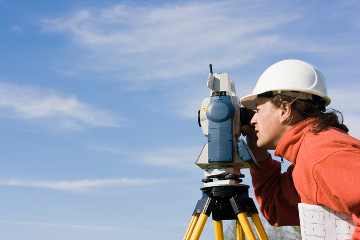
The GSA discussed the many benefits that European GNSS, and in particular Galileo, bring to the mapping and surveying sector during the EUREF 2017 Symposium in Wroclaw, Poland.
The mapping and surveying sector has been benefiting from the innovative opportunities created by European GNSS and, in particular, the precise positioning offered by Galileo. “With Galileo satellites working together with GPS, there are more satellites in the sky, meaning more accurate positioning – of particular importance to surveyors operating in challenging environments like cities or tree canopies,” explained GSA Head of Market Development Gian Gherardo Calini, speaking at the recent EUREF 2017 Symposium in Wroclaw, Poland.
As an efficient tool for mapping and surveying, GNSS is often used by solutions requiring centimetre-level accuracy, while for some GIS and mapping applications metre-level is sufficient. “Specifically, as to the GSA’s contribution to this market segment, for several years now EGNOS has been contributing to the growing use of GNSS in real time mapping solutions by providing free metre-level accuracy that is widely available,” said Calini. “In a nutshell, EGNOS eliminates the need for complex and costly equipment and software solutions and the need to invest in additional ground infrastructure.”
Typical examples include GIS and thematic mapping for small and medium-sized municipalities, forestry and park management, as well as surveying utility infrastructures. Most GNSS receivers used for mapping are EGNOS ready.
Galileo for high-precision
For high-precision users demanding positioning services with sub-decimetre level accuracy, which can only be achieved using augmentation services (e.g. real-time kinematic (RTK), precise point positioning (PPP)), the Galileo Open Service comes into play. This free-of-charge service offers either single (E1) or dual frequency (E1/E5), which further improves such augmentation services as RTK/differential global navigation satellite system (DGNSS) or PPP solutions.
The resulting benefits to surveyors, especially in multi-constellation environments, are many. For example, surveyors enjoy easier mitigation of multipath errors, higher signal-to-noise ratio, increased availability, continuity and reliability, and better operation in harsh environments. Thanks to the planned Navigation Message Authentication, the Galileo Open Service also provides enhanced protection against spoofing attacks.
In addition, there is the Galileo Commercial Service, which is dedicated to an even higher level of authentication, as well as a High Accuracy (CS-HA) service. As for CS-HA, a PPP-based service, it is planned to directly deliver corrections around the world via Galileo satellites and without the need for an additional communication channel. This will support many high-accuracy applications across all segments.
Along this line, CS-HA offers triple frequency with faster convergence time for surveying applications and with an accuracy comparable to RTK. On top of this, users can also benefit from Galileo’s authentication service – the first-ever Signal in Space-based method for assuring that the positioning is based on real Galileo signals and not another source.
Media note: This feature can be republished without charge provided the European GNSS Agency (GSA) is acknowledged as the source at the top or the bottom of the story. You must request permission before you use any of the photographs on the site. If you republish, we would be grateful if you could link back to the GSA website (http://www.gsa.europa.eu).