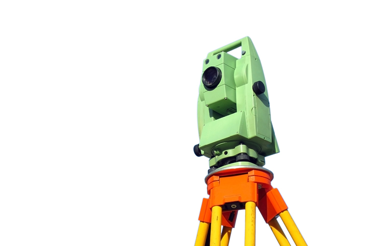
The GSA discussed how Galileo helps the mapping and surveying sector harmonise geospatial data during the EUREF 2017 Symposium in Wroclaw, Poland.
EUREF, the International Association of Geodesy (IAG) Reference Frame Sub-Commission for Europe, is dedicated to the definition, realisation and maintenance of the European Geodetic Reference Systems. Included in this mission is the development and maintenance of the EUREF GNSS Permanent Network (EPN), which is a ground-based GNSS infrastructure for scientific and practical applications in positioning and navigation.
“Through the INSPIRE Directive, the European Union requires that geospatial data be harmonised across Europe via a common coordinate system,” says Professor Alessandro Caporali of Italy’s University of Padova. “GNSS based satellite positioning is, to date, the most efficient and accurate technique for consistently defining coordinates on a regional and global scale.”
EUREF provides standards and guidelines to European National Mapping Authorities in order to harmonise the definition and adoption of national coordinate reference systems.
Galileo readiness
But of course all of these benefits can only be used if the geodetic community is ‘Galileo ready’. According to the GSA’s GNSS User Technology Report, surveying, mapping and construction (both person-based and machine controlled) together accounted for 95% of all GNSS device shipments in 2016. “In the coming decade, the total amount of shipments is expected to reach 815,000 units worldwide, representing almost a four-fold increase over 2015,” said GSA Head of Market Development Gian Gherardo Calini, speaking at the recent EUREF 2017 Symposium in Wroclaw, Poland.
Main drivers and trends:
|
According to Calini, multi-constellation and multi-frequency are widely adopted to fulfil the sector’s stringent accuracy requirements. A recent GSA survey of the sector showed that 77% of responding reference networks indicated that they had enough information to integrate Galileo into their systems, while 41% say they are already fully prepared to use Galileo signals. In total, 78% of reference networks have plans to upgrade to Galileo this year.
Currently, most Galileo-enabled chipsets and receivers are found in the automotive, consumer, agriculture and surveying sectors. For example, in the high-precision market, all the leading receiver developers have integrated Galileo into their products, including Trimble, Leica- Geosystems, Javad, TopCon, Septentrio and NovAtel.
Media note: This feature can be republished without charge provided the European GNSS Agency (GSA) is acknowledged as the source at the top or the bottom of the story. You must request permission before you use any of the photographs on the site. If you republish, we would be grateful if you could link back to the GSA website (http://www.gsa.europa.eu).